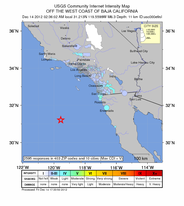
 Early in the morning (2:36 AM) of December 14, 2012 a 6.3 earthquake rattled the Pacific Ocean. The epicenter was located 250 km southwest of Catalina, according to the US Geological Survey.
The December 14, 2012 M 6.3 earthquake . . . occurred as a result of shallow normal faulting within the oceanic lithosphere of the Pacific plate. This event is located some 400-450 km west-southwest of the plate boundary between the Pacific and North America plates – the San Andreas fault system in southern California – and is not associated with that fault system. Instead, this earthquake represents intraplate faulting along northeast-southwest trending normal faults within the crust of the Pacific plate, just to the west of California’s continental shelf. The causative fault is not known at this time. At the location of this event, the Pacific plate moves to the northwest with respect to the North America plate at a velocity of approximately 54 mm/yr.
Now you know.
[Link: USGS]